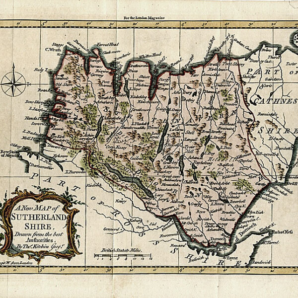
Description
Published in Thomas Dugdale’s “Curiosities of Great Britian. England and Wales Delineated” London: c. 1847
A small yet detailed map showing towns, hamlets, polling places, road, woods and rivers. Inset of the Channel islands of Guernsey and Jersey lower left.
Map Condition: Hinging tape to upper margin corners, slightly browned centrefold, else very good. Map Type: Copper engraved map with hand colouring in outline
Stock No: 1360
Cartographer: Archer, Joshua
Year: c. 1847
Height (in): 7
Width (in): 10