Description
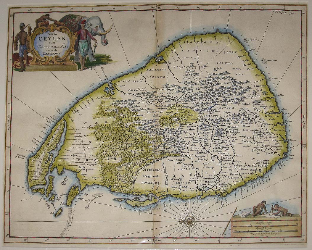
“Insula Ceylan Olim Taprobana Nunc Incolis Lankawn”. A wonderfully decorative map of Ceylon from a Dutch Missionary’s work of the 17th Century. Baldeus’ work was an important early source of Dutch influence on the Indian subcontinent. Early geographies noted Taprobana as part of Sumatra but it wasn’t until Portuguese official Joao de Barros correctly identified it as Ceylon c. 1552. From Philippus Baldaeus “A True and Exact Description of the most celebrated East-India Coasts of Malabar and Coromandel, as also of the Isle of Ceylon …” translated from the Dutch to English, From Churchill’s “A collection of voyages and travels … ” London. Map Condition: Very good Map Type: Copperplate engraving with later hand colouring
Stock No: 1309
Cartographer: Janssonius, Johannes
Year: c. 1752
Height (in): 11.5
Width (in): 15


