Description
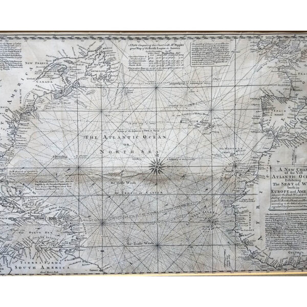
[Mount, William, Page, Thomas]. A DRAUGHT OF THE COAST OF GUIANA FROM THE RIVER ORONOQUE TO THE RIVER AMAZONES. Published in The English Pilot. The Fourth Book Describing The West India Navigation. London, c. 1761.
An interesting coastal chart showing the Dutch, French and English settlements of Suriname, Guyana, and Cayenne also parts of Venezuela and Brazil. Inset maps of the River Oronoque and The River Surinam showing soundings and anchorages. The English Pilot the Fourth book was first produced in 1689 by John Thornton and William and was the first sea atlas produced by English cartographers entirely comprised of maps in Caribbean and South American waters. The atlas enjoyed enormous success and was reprinted 37 times up until 1794 including three pirated editions.
Map Condition: Water staining with a light extra crease upper right, but still a decent copy. Map Type: Copper engraved map.
Stock No: 1427
Cartographer: Mount, William, Page, Thomas
Year: c. 1761
Height (in): 17-1/2″-44.4 cm.
Width (in): 22″-55.1 cm.