Description
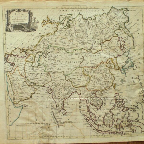
A very uncommon map of the “New Philippine islands” or Caroline islands in Micronesia significant as purported to be the first map of the area based on native rather than European renditions. An interesting map on a larger sheet with local fauna. From ” The Philosophical Transactions From the year 1700 to the year 1720. By Henry Jones … the second edition. London, 1731. Map Condition: Fine. Map Type: Copper engraved map.
Stock No: 1029
Cartographer: Harris, J.
Year: 1731
Height (in): 4.75
Width (in): 5


