Description
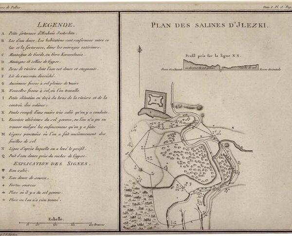
Published in a Dutch edition of Cook’s “A Voyage to the Pacific Ocean..” Leiden & Amsterdam, c. 1803. A detailed Dutch map of the soundings of Awatska Bay on the east coast of the Russian peninsula of Kamtschatka. Inset plan of St. Peter’s and St. Paul’s Harbour.
Map Condition: Folds as issued, one small crease lower left, else very good. Map Type: Copperplate engraving with hand colouring
Stock No: 1383
Cartographer: Van Baarsel, C.
Year: c. 1803
Height (in): 9.5
Width (in): 7.5


