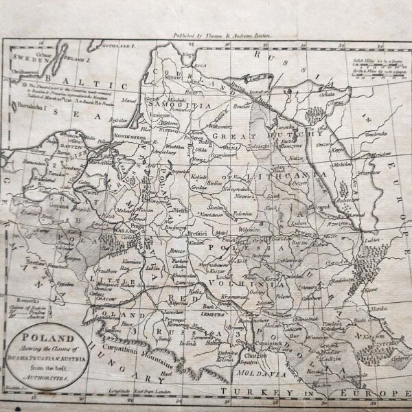
Description
“La Russie Blanche Ou Moscovie Divisee Suivant L’estendue Des Royaumes Duches. . . Qui Sont Presentement Sous La Domination Du Czar De La Russie…”. Published in Jaillot’s “Atlas nouveau contenant toutes les parties du monde” Paris, 1717. Large impressive map of “White Russia” or the Belarus extending from the Baltic Sea to the Ural mountains in Central Asia. The Black Sea, Baltic, Caspian and Moscovite Seas are shown. Much of the area is forested. Moscow is shown. The term “White Russia” was used to indicate the area of Belarus and the term is still used in many other languages. Map Condition: Upper margin trimmed to neatline with loss of secondary title, some browning and chips along margins, else very good. Map Type: Copper engraved map with hand colouring in outline
Stock No: 1355
Cartographer: Jaillot, Alexis-Hubert
Year: 1717
Height (in): 17.75
Width (in): 25.5