Description
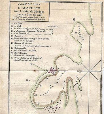
A plan of Port Royal on the Bay of Campeche in the Yucatan peninusula. From Prevost’s “Histoire General des Voyages”, Paris. Map Condition: Slight offsetting, rmarginal stains, otherwise very good. Map Type: Copper engraved map hand coloured in outline.
Stock No: 1054
Cartographer: Bellin, Jacques Nicolas.
Year: 1754
Height (in): 7.75
Width (in): 6.5


