Description
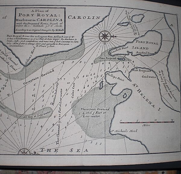
Published by W & R. Chambers, London & Edinburgh. A detailed map of Eastern United States showing towns, cities, mountain ranges and proposed rail lines. Map Condition: Horizontal crease as issued, split along fold else very good. Map Type: Printed coloured map
Stock No: 1350
Cartographer: Johnston, W & A.K.
Year: c. 1890’s?
Height (in): 10.5
Width (in): 9.5


