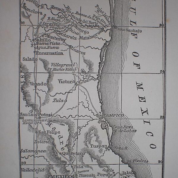
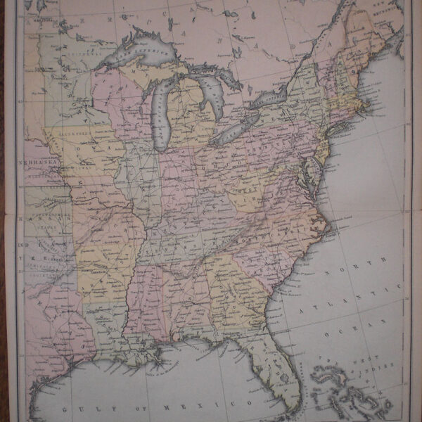
Description
A detailed and decorative map of Kentucky and Tennessee with scrolling foliate border. Shows towns, cities, ports, rivers and railroad lines. Published by S. Augustus Mitchell, Philadelphia. Map Condition: Minor chips and browning to margins, else very good. Map Type: Lithograph with original hand colouring.
Stock No: 1211
Cartographer: Mitchell, Samuel Augustus.
Year: 1860
Height (in): 10.5
Width (in): 13.25