Description
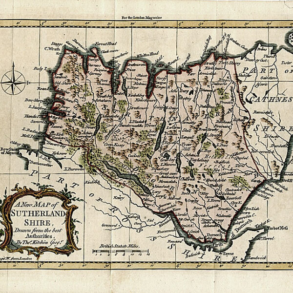
Published in Guthrie’s “New System of Modern Geography “. London, C. Dilly & Robinson c. 1780. A detailed map of England and Wales showing the cities, towns and roads. Engraved decorative cartouche upper right.
McCorkle-Carto-Bibliography of the maps in Eighteenth British and American Geography Books, #181, ETSC T206698
Map Condition: Repaired closed tear lower margin into the English Channel, some browning and wear and repairs along folds still generally good. Map Type: Copperplate engraving with hand colouring in outline
Stock No: 1415
Cartographer: Kitchin, Thomas
Year: c.1780
Height (in): 14
Width (in): 13.25