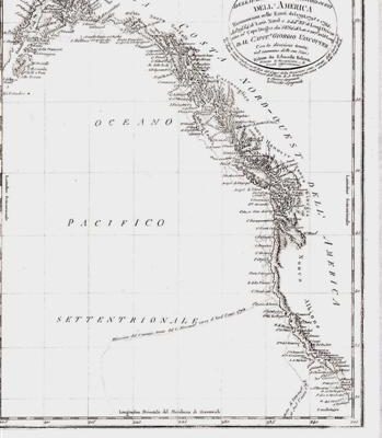
Description
Published in “Morse’s North American Atlas” New York: Harper Brothers, 1845. Printed from the first American atlas to use colour cerography (wax). A detailed pre-confederate map of the Maritimes.
Map Condition: A couple of chips to margins else fine. Map Type: Cerograph.
Stock No: 1371
Cartographer: Morse, Sidney E. & Breese, Samuel
Year: c.1843
Height (in): 14.5
Width (in): 12