Description
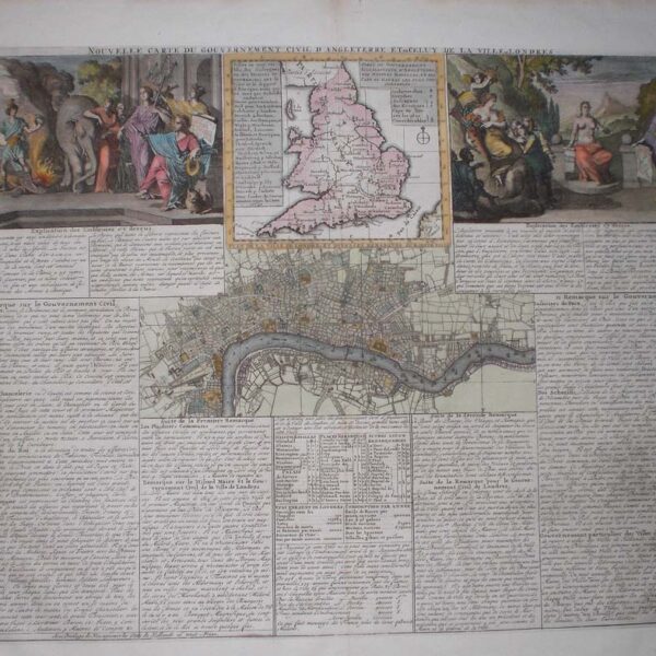
“A New Map Sutherlandshire Drawn from the Best Authorities”. A good 18th century map A detailed map showing Strathnavern, Edirisdacheul, Dornoch and part of Cathnesshire in North Eastern Scotland . Towns, rivers and mountains are indicated. Published in the London Magazine, c. 1764. Map Condition: Some chips to margins, old hinging tabs to verso, but overall very good. Map Type: Copper engraved map with later hand colouring.
Stock No: 1336
Cartographer: Kitchin, Thomas.
Year: c. 1764
Height (in): 6.5
Width (in): 8.5


