Description
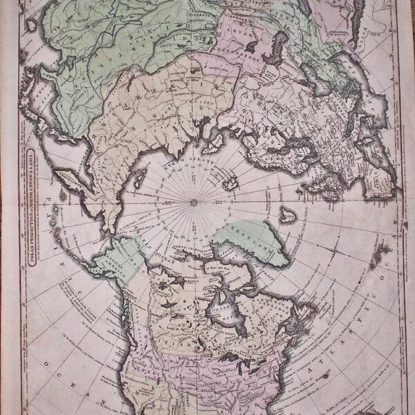
Published in Vandermaelen’s “Atlas universel de geographie physique, politique, statistique et mineralogique….” 1827. Shows the southern part of George Islands (Melville and Byam Martin islands) in the Canadian Arctic. Map Condition: A couple of creases and short tear to lower blank margin, else very good. From the first world atlas entirely by lithograph on a large scale. Map Type: Lithograph with hand colouring. Phillips, 749; Koeman Vdm 1; National Maritime Museum, 179.
Stock No: 1420
Cartographer: Vandermaelen, Phillipe Marie Guillaume.
Year: 1827
Height (in): 19
Width (in): 22.5


